Slow Travel
Canal and river towpaths as long-distance routes
Flat, waymarked, well-connected and largely ignored by walkers who want hills.

This looks at towpath walking from the practical end — what holds up once conditions stop being ideal.
What holds up in practice
- Towpaths are near-level and continuously waymarked over long distances.
- They pass through towns, which makes resupply and transport easy.
- Surface quality varies from surfaced to genuinely muddy.
A different kind of long walk
Canal towpaths run for hundreds of kilometres at almost no gradient, following contours or locking through them. They connect towns and cities directly, so accommodation, food and public transport are continuously available.
This makes them among the most accessible long-distance walking available. Navigation stops being a task at all, since the water is the route and a wrong turn is only possible at a junction, which frees up attention for everything else and makes towpaths unusually good for walking with somebody who wants to talk.
Accessibility in a real sense
Level surfaces and frequent access points make many sections usable by people who cannot manage hill terrain. Wheelchair and pushchair access is genuinely possible on surfaced sections, which is rare in long-distance walking.
In practice, access point spacing also makes short sections practical for people with limited stamina. The caveats are structural, because bridge steps, narrow lock landings and access gates fitted to deter motorcycles all block wheeled users, so accessibility on a canal is a matter of specific surveyed stretches rather than a property of towpaths in general.
The industrial landscape is the interest
Locks, aqueducts, tunnels, wharves and pump houses are the surviving infrastructure of an entire economic era. Reading a canal — why it goes where it goes, why the locks cluster — is a genuine pleasure once you know what to look at.
Locally, much of it is listed and maintained by navigation authorities and volunteers. The clues are legible once you know them, since a flight of locks marks where the ground rose faster than the engineers could contour around, side ponds show where water was scarce, and a long lock-free pound means a surveyor found a contour and followed it for miles.
Conditions vary
Surfaced sections near cities are all-weather; rural sections can be deep mud after rain. Vegetation encroaches in summer on lesser-used stretches.
In practice, checking recent condition reports from navigation authorities or walking groups avoids the worst. The towpath is also the maintenance access, so stretches close for dredging, bank repair and lock work with diversions that put you on a road for a mile or two, and those closures are published by the navigation authority rather than by anybody else.
Sharing with cyclists
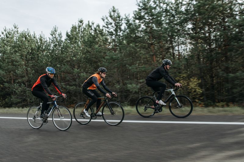
Towpaths are shared use in most places, and conflict is common where they are narrow and busy. The convention is that cyclists give way and slow, and it is inconsistently observed.
Walking on the outside of blind bridge holes is a small habit that prevents most incidents. The edge is the other constant, because a canal has vertical sides and no shallow margin at all, which makes it a different proposition from a river for anyone walking with a dog or a small child.
The exception is usually weather, which overrides most planning.
A canal is also a wildlife corridor
A continuous ribbon of water with vegetated margins running across intensively farmed country works as a linear habitat, and species that could never cross the fields travel along it instead. Water voles, kingfishers, dragonflies and a distinctive aquatic flora persist along canals for that reason, and the towpath hedge does the same job on land for small mammals and invertebrates.
Locally, the same connectivity works against conservation too, since boat hulls and equipment have moved invasive plants and freshwater molluscs efficiently between catchments that would otherwise never have met. Navigation authorities now ask boaters to check, clean and dry gear between waterways because of this, and the request applies just as much to anyone paddling, angling or wading along the route.
The takeaway
Flat, waymarked, connected to trains, and open to people hills exclude.
What holds up over a week outdoors is rarely what looks best at the trailhead.
Questions readers ask
Are towpaths boring compared with hills?
Different rather than boring — the interest is industrial archaeology, water and the towns rather than views. Many long-distance walkers use them to link upland sections.
Can I camp along a canal?
Generally not on the towpath, which is usually owned by a navigation authority. Campsites and accommodation are frequent, which is part of the appeal.