Conservation
Checkerboard Ownership Makes Western Land Hard To Manage
Alternating public and private square-mile sections, a leftover of nineteenth-century railroad grants, produce a pattern that complicates access, habitat management and almost every land decision in the West.
Large parts of the American West are owned in a checkerboard of alternating square-mile sections, half public and half private. The pattern is a nineteenth-century artifact that still governs what can be done today.
The pattern came from railroad land grants
To finance transcontinental construction, the federal government granted railroads alternating sections in a corridor along the planned route. The government kept the sections in between.
The theory was that the retained sections would rise in value once the line existed, so the public would recover what it gave away. The geometry was drawn on a survey grid rather than on the ground.
Grant lands were later sold, consolidated and traded, so the private squares are now held by timber companies, ranches, energy firms and individual owners with very different aims.
Habitat does not respect the grid
A migration route, a watershed or a sage-grouse lek sits wherever the terrain puts it, crossing ownership lines repeatedly. Managing it requires agreement among owners with no obligation to agree.
A treatment applied on one section and not the neighbor produces a striped result, which is visible from the air across much of the interior West.
Cooperative agreements and conservation easements are the usual workaround, and each is negotiated separately. The transaction cost of coordination is itself a conservation problem.
Access is the argument the public notices
Where two public sections touch only at a shared corner, reaching one from the other means passing through a point where four properties meet. Whether that step is trespass has been contested for years.
The result is public land that is legally open and practically unreachable without crossing private ground or arriving by aircraft.
Estimates of how much western public land is landlocked this way run into millions of acres, and the checkerboard accounts for a large share of it.
Fencing, water and livestock follow the lines
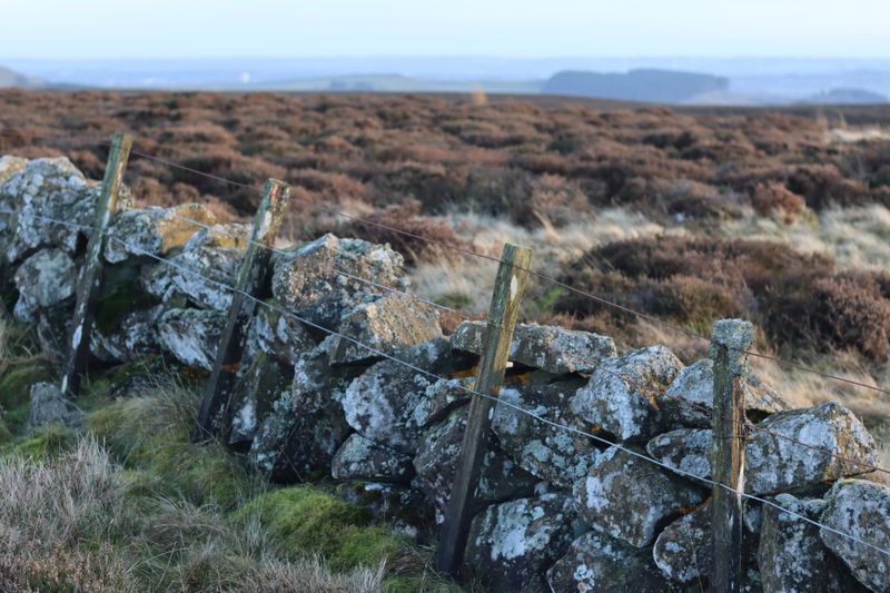
Boundary fences on section lines fragment habitat for pronghorn and other species that move long distances but cross fences poorly. Wildlife-friendly fence designs are a retrofit rather than the default.
Water development is similarly split, so a stock pond or well may serve grazing on one side of a line while the neighboring section has none.
Ranch operations often lease adjacent public sections precisely to make the pattern workable, which ties private ranching economics to public grazing policy.
Land exchanges are the slow fix
Agencies consolidate holdings by trading parcels with private owners so each side ends up with contiguous ground. Exchanges require appraisals, environmental review and usually public comment.
Because valuation is contested and every exchange creates winners and losers locally, deals take years and many collapse before completion.
Where exchanges succeed, the management gain is substantial: one owner making one decision across a whole drainage rather than sixteen owners making sixteen.
Questions readers ask
How can pumping groundwater affect a river?
Many rivers are fed by groundwater seeping in along their length. Lowering the water table reduces that seepage, so flow falls with no structure on the river itself.
Is low flow just drought?
Drought reduces flow naturally. Abstraction adds to it, and the two coincide because demand rises in dry weather. Separating the causes requires long records and groundwater data.
What is a hands-off flow condition?
A licence condition requiring abstraction to reduce or stop when river flow falls below a set level, protecting the river at its most vulnerable while allowing normal use otherwise.