Wild Places
Machair, the grassland that only exists in two countries
A habitat made of crushed shell, wind and centuries of low-intensity farming. It exists on the western coasts of Scotland and Ireland and almost nowhere else.

What follows is the working version of machair: the decisions in the order you actually meet them, with the reasoning attached.
Before you start
- Machair depends on shell sand blown inland and on continued low-intensity cultivation.
- It supports breeding wader densities among the highest in Europe.
- Abandonment damages it as surely as intensification does.
A habitat made of shell
Machair forms where wind blows calcium-rich shell sand off wide beaches onto land behind the dunes. That produces an alkaline, free-draining, nutrient-poor soil sitting on top of acidic peat and rock.
The plant community that results is unlike anything on the acid ground a few hundred metres inland, and the boundary is often visible as a line. It is a sequence rather than a single field: beach, foredune, dry machair, wet machair holding standing water through the winter, and then the peaty blackland behind, each with its own flora and each depending on the strip in front of it.
Farming made it and farming maintains it
The characteristic flower-rich sward depends on a rotation of shallow cultivation, seaweed fertilisation and fallow years. Machair is therefore a cultural landscape: remove the crofting system and the habitat changes within a decade. It is one of the clearest cases anywhere of a conservation priority that requires people to keep working the land rather than to stop.
The practices involved are labour-intensive ones — seaweed carted up from the strandline, narrow strips cultivated in rotation, hay cut late and with small machinery — and each depends on there being enough working crofts left for the effort to be ordinary rather than heroic.
The bird densities are extraordinary
Breeding densities of lapwing, dunlin, redshank and ringed plover on good machair are among the highest recorded in Europe. The combination of short sward, damp hollows and low predation pressure is what produces it.
Corncrake, largely lost across its European range, persists in the machair and adjacent hay meadows because the mowing regime suits it. They need tall cover from the moment they arrive, before any crop is high enough, which is why patches of iris and nettle along the field edges matter as much as the hay, and why mowing outwards from the centre rather than inwards is the difference between birds escaping and birds being driven into the last standing strip.
The threats point in both directions
Intensification — reseeding, artificial fertiliser, silage cutting instead of hay — removes the flower diversity and destroys wader nests. Abandonment allows rank grass and scrub to take over, which removes the short sward the waders need. The habitat sits in a narrow band of management intensity, and both edges of that band are being approached.
Introduced ground predators, particularly hedgehogs and mink on some islands, add pressure the system did not evolve with.
Visiting without damaging it
Wader nests on machair are on open ground, unmarked and effectively invisible, and the breeding season runs through late spring and early summer. Sticking to tracks during that period is not a courtesy but the difference between a successful season and a failed one. Dogs off leads are the single largest visitor-caused problem, because ground-nesting birds abandon at a distance.
The detail that matters: it is also farmland rather than open ground, and in high summer a good deal of it is either a standing crop or a hay meadow a few weeks from cutting, so the tracks and the beach are the routes and the middle of a field is somebody's harvest.
How much of that applies depends on the terrain you are actually in.
The dune in front of it is the insurance policy
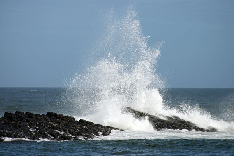
Machair persists only while the foredune ridge on its seaward side keeps supplying shell sand and absorbing wave energy. A blowout — a bare gap cut through that ridge by trampling, vehicle tracks or rabbit burrowing — lets wind strip the surface and can migrate inland across the grassland behind it. Winter storm surges cut the dune face back, and much of the sand removed that way goes offshore rather than being blown inland onto the machair.
On the ground, rising sea level and more frequent winter storms make this the pressure least amenable to management, because no grazing regime addresses it at all.
The takeaway
A habitat that needs farming to survive is a hard case to fund, and this is the clearest example of it.
What holds up over a week outdoors is rarely what looks best at the trailhead.
Questions readers ask
Where can I see machair?
The Outer Hebrides hold the largest and best-developed examples, with further areas on the Scottish west coast, Orkney and the north-west of Ireland.
When is it at its best?
Late June and July, when the flower display peaks. That is also peak breeding season for waders, so it is the time to be most careful about where you walk.