Conservation
A Designation Protects The Site And Ignores Its Catchment
Protected area boundaries are drawn around habitat, but water, sediment and nutrients arrive from land outside the line where the designation has no force.
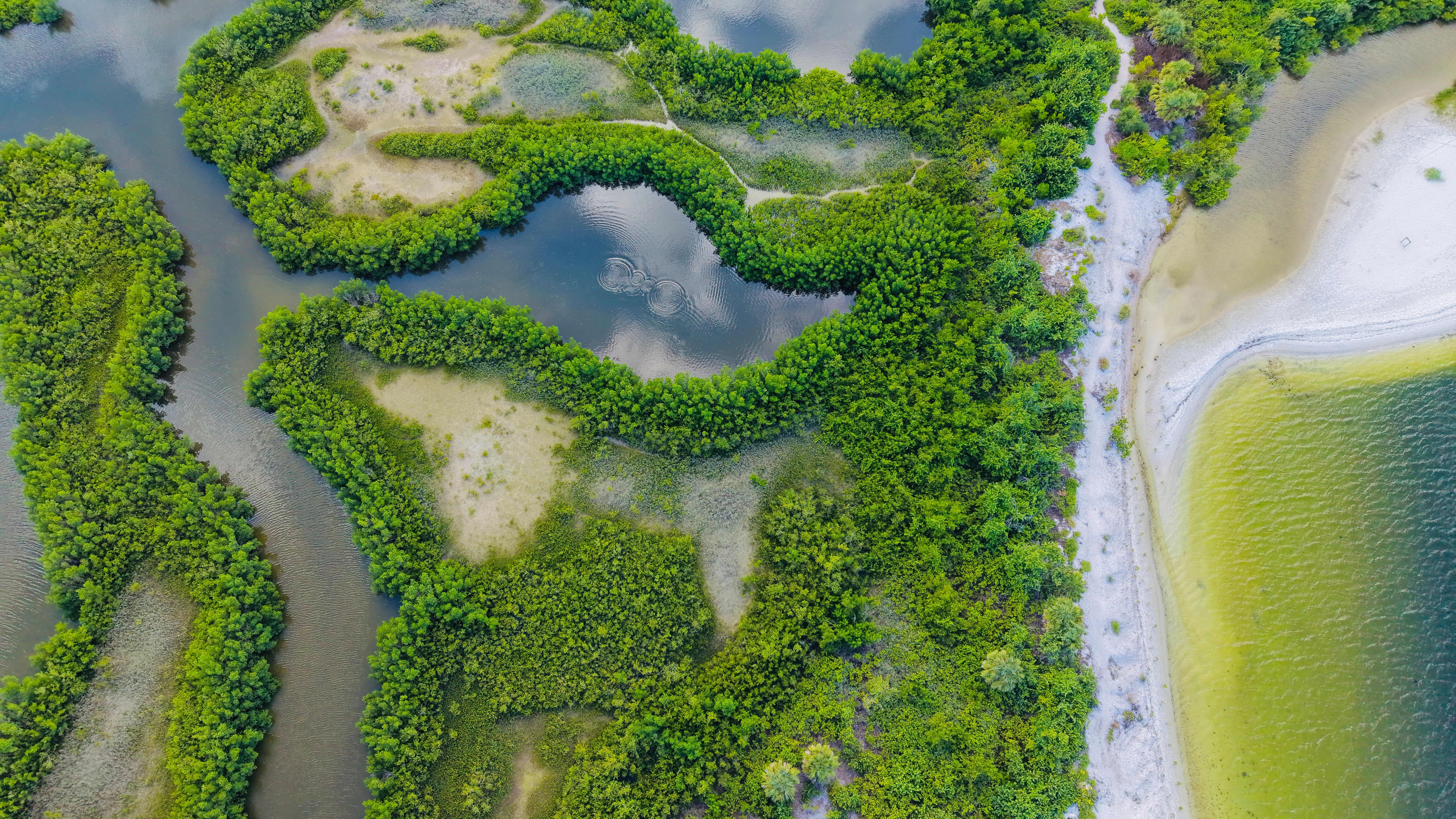
A wetland can hold every legal protection available and still deteriorate steadily. The reason is usually that the things damaging it are entering from land the designation does not cover.
Boundaries are drawn around what is visible
Designations are mapped from surveys of habitat and species, so the line follows the reedbed, the wood or the bog. That is a sensible way to describe what is being protected.
It is a poor description of how the habitat is sustained. A fen depends on the water table across a much larger area, and a lake depends on everything its rivers drain.
The functional unit and the legal unit therefore differ, sometimes by an order of magnitude. Management powers stop at the fence while the processes that matter do not.
Water carries the problem inward
Nutrients applied to farmland upstream reach watercourses through drains and groundwater. They arrive at the protected site dissolved, invisible, and in quantities the habitat never evolved with.
The response is predictable: fast-growing plants take advantage, shade out slower species adapted to poor conditions, and the assemblage the designation was made for disappears without anything being built or cut.
Sediment does the same job physically, filling channels, smothering gravel and reducing the light reaching submerged plants. Both processes are gradual enough to be attributed to almost anything else.
Hydrology is altered from outside
Drainage on neighbouring land lowers the water table beneath a protected bog as effectively as drainage inside it. Water does not recognise the boundary and moves towards the lowest point available.
Abstraction has the same effect at greater distance, and the connection between a borehole and a spring several miles away is often disputed precisely because it is hard to demonstrate.
Where a site was designated for wet habitat and the water has been removed, management inside the boundary can only slow the transition, not stop it.
The tools that exist are voluntary
Regulators can generally control what happens within a designated site and have far weaker powers over surrounding land. The usual instruments are payments, advice and negotiated agreements.
These work where a neighbouring landholder is willing and the payment covers the loss. They do not work where the surrounding land is fragmented among many owners with different intentions.
Buffer strips, ponds and constructed wetlands can intercept some of what is arriving, which is why so much site management now happens on land that is not the site.
Catchment thinking changes what gets bought
Organisations that understood this stopped buying habitat and started buying influence over water. A field of no ecological interest can be the highest-value acquisition available if it controls what reaches the reserve.
That is a difficult case to make to supporters who want to fund a marsh rather than an arable field, and it is one reason the approach took a long time to become normal.
Questions readers ask
How can pumping groundwater affect a river?
Many rivers are fed by groundwater seeping in along their length. Lowering the water table reduces that seepage, so flow falls with no structure on the river itself.
Is low flow just drought?
Drought reduces flow naturally. Abstraction adds to it, and the two coincide because demand rises in dry weather. Separating the causes requires long records and groundwater data.
What is a hands-off flow condition?
A licence condition requiring abstraction to reduce or stop when river flow falls below a set level, protecting the river at its most vulnerable while allowing normal use otherwise.